Freight Forwarder and Shipping Line: Key Players in Maritime Trade
In international trade, the freight forwarder and the shipping line play different yet highly complementary roles within the maritime logistics

(Naucher)
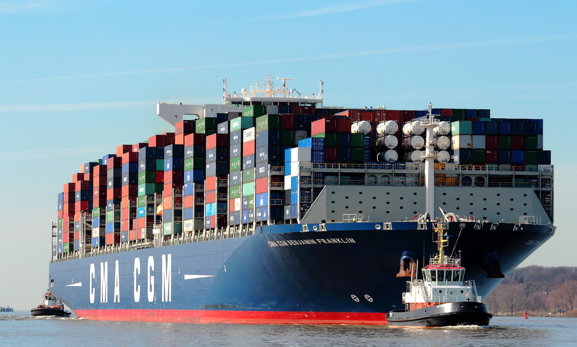
On the past 19th of July and 15th of August, two vessels that coincidentally belong to the same shipping company, the CMA-CGM BEJAMNIN FRANKLIN, and the CMA-CGM BELEN, both container ships, the first one a megamax of 18,000 TEU and the second one of 13,200 TEU, lost 44 and 99 containers at sea during strong storms in both cases in the area of south-east Africa, (South African Republic), at the exit of the Mozambique Channel, in the Richard’s Bay region.
The southernmost tip of Africa is Cape Agulhas, named by the Portuguese on their voyages to the Spice Islands; it was Bartolomeu Dias who first sailed around the Cape of Good Hope, and called it the Cape of Storms; but it was King John II of Portugal, in a clear political marketing decision, who called it the Cape of Good Hope, which probably made the journey by caravel from Portugal to the Spice Islands seem less risky.
The thing is that the Cape of Good Hope is located at 34 degrees and 21 minutes south latitude, very close to the 40 degrees South zone known by Spanish sailors as “the roaring forties” whose name, more widely used today, is “the roaring forties ” and it is that, in this region of the planet, the westerly winds circulate freely across the sea throughout the entire terrestrial geography except for the barrier that is Patagonia. Very powerful winds that give rise to spectacular seas as seen in the images transmitted by the media of regattas such as the Vendee Globe.
Let us also say that, in the area where the containers fell into the sea mentioned above, one of the most powerful marine currents in the world runs, the Agulhas Current, which flows from the west coast of Madagascar, through the Mozambique Channel to Cape Agulhas, from where one part passes into the Atlantic (Benguela Current) and another turns south to immediately turn north to generate again the original Agulhas Current.
Read the full article <here>

In international trade, the freight forwarder and the shipping line play different yet highly complementary roles within the maritime logistics

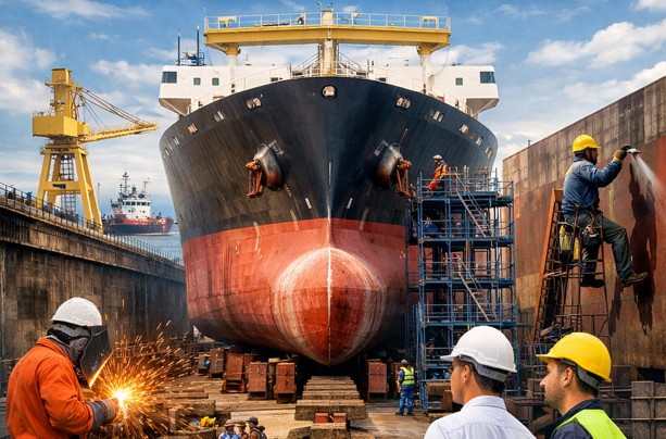
A dry dock is a specially constructed facility used for the construction, inspection, repair, and maintenance of ships and vessels.